
Agricolio: Online crop monitoring
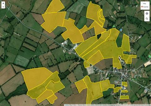
Agricolio offers farmers a dedicated solution allowing the traceability of farming practices and field management based on the monitoring of vegetation and absorbed fertilizers. In order to provide these services, Agricolio combines technologies of high resolution satellite images and advanced agronomic knowledge on plant development.

smart farmingmachine learningsatellite-based monitoringrust
Agricolio services
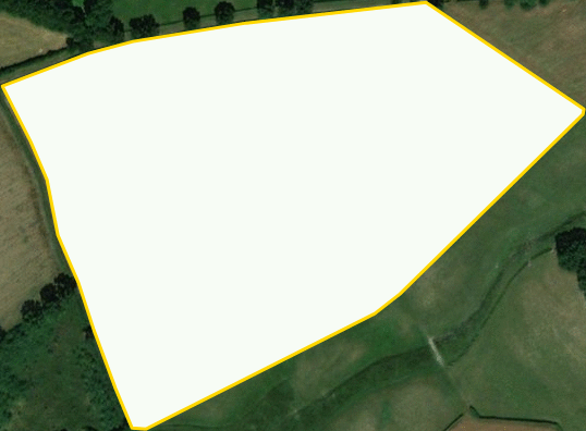
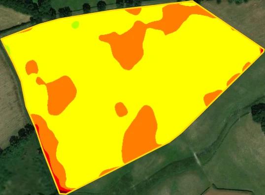
- Plant growth monitoring with detailed maps available throughout the year.
- Maps of vegetation development with their specific indicators calculated based on the type of plant used.
- Full weather history (rainfall, temperature, sunshine, etc.), as well as cumulated rainfall and temperature.
- Notifications when important events arise or an action needs to be taken on the user side.